What is this data?
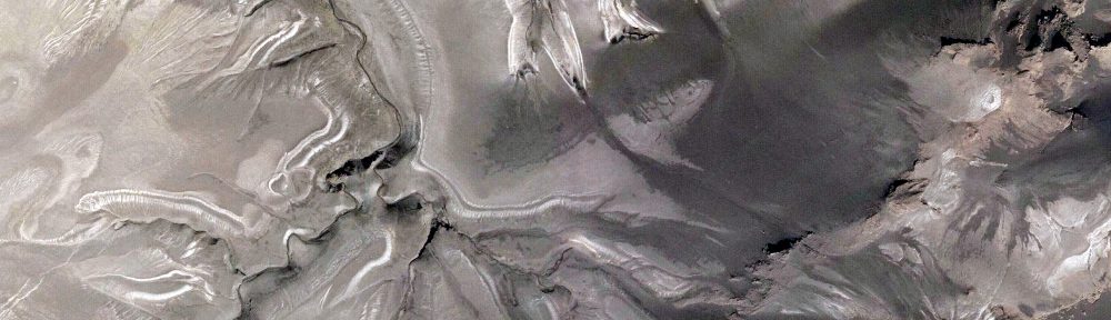
QuickBird is a high-resolution commercial earth observation satellite, owned by DigitalGlobe and launched in 2001 as the first satellite in a constellation of three scheduled to be in orbit by 2008. The satellite collects panchromatic (black and white) imagery at 60 centimeter resolution and multispectral imagery at 2.4- and 2.8-meter resolutions. At this resolution, detail such as buildings and other infrastructure are easily visible. However, this resolution is insufficient for working with smaller objects such as a license plate on a car. The imagery can be imported into remote sensing image processing software, as well as into GIS packages for analysis. The imagery can also be used as a backdrop for mapping applications, such as Google Earth and Google Maps.
Where is it available?
The Global Land Cover Facility (GLCF[1]) provides access to some free QuickBird imagery, provided by Digital Globe in response to the December 2004 Tsunami. GLCF also provides restricted access for qualified researchers to QuickBird imagery from the NASA Science Data Purchase.
References:
Users: