Skip to primary content

Centre for Remote Sensing (CRS)

Centre for Remote Sensing (CRS)

Main menu

  • Home
  • About
  • People
    • Scientific Staff
      • Ármann Höskuldsson
      • Ásta Rut Hjartardóttir
      • Benjamin D. Hennig
      • Denis Warshan
      • Emmanuel Pagneux
      • Eyjólfur Magnússon
      • Finnur Pálsson
      • Freysteinn Sigmundsson
      • Gro B. M. Pedersen
      • Helgi Björnsson
      • Helmut Neukirchen
      • Ingibjörg Jónsdóttir
      • Ívar Örn Benediktsson
      • Jakob Sigurðsson
      • Joaquín M.C. Belart
      • Jón Atli Benediktsson
      • Kolbeinn Árnason
      • Magnús Örn Úlfarsson
      • Sigurdur M. Gardarsson
      • Sverrir Guðmundsson
      • Throstur Thorsteinsson
    • PhD Students
      • Bin Zhao
      • Cécile Ducrocq
      • Darri Eyþórsson
      • Ernir Erlingsson
      • Mary K Butwin
      • Muhammad Aufaristama
      • Nína Aradóttir
      • Siqi Li
    • Master Students
    • Affiliates
      • Anders Schomacker
      • Mervi Orvokki Luoma
      • Morris Riedel
      • Prashanth Reddy Marpu
      • Snævarr Guðmundsson
      • Vincent Drouin
  • Courses
  • Data
    • Aerial Photographs
      • Loftmyndir
      • Samsýn
    • Data bases
      • Geological Maps
      • Historical records
      • IS 50 V
      • LUKR
      • Soil map
      • Volcanic systems and fissure swarm and fracture database
    • Digital elevation models
      • ICESat
      • Airborne LIDAR
    • GPS data
    • Satellite imagery
      • ASTER
      • AVIRIS
      • EMISAR
      • Envisat
      • ERS-1
      • ERS-2
      • FormoSAT-2
      • IKONOS
      • QuickBird
      • ROSIS
      • SPOT5
      • WorldView-2
      • TanDEM-X and TerraSAR-X
      • ERS 1/2 tandem data
  • Software & Languages
    • ArcGIS
    • DORIS
    • eCognition
    • GAMIT/GLOBK
    • MATLAB
    • MultiSpec
    • R
    • StaMPS
  • Instruments and Facilities
    • Aerial thermal line scanner
    • IHPC
  • Events
  • Publications
    • Journal and conference papers
    • PhD theses
    • Master theses
    • Bachelor theses
  • Links

Ernir Erlingsson

Ernir Erlingsson

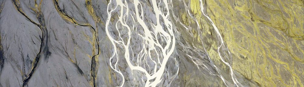
Research Topics: Big data analytics and scalable, parallel machine learning, e.g. for data from Earth science

Keywords: Clustering (DBSCAN), Classification (Support Vector Machines, Neural Networks) , High-Performance Computing, Cloud Computing  

Data sets: Sentinel, CORINE Land Cover, Actueel Hoogtebestand Nederland (AHN3) 3D LIDAR point cloud of Netherlands

Proudly powered by WordPress